Convolutional neural networks now classify the National Cooperative Soil Survey soil texture class with 78% accuracy directly from a smartphone photo. This advancement represents a significant step in digitizing field soil analysis, promising unprecedented speed and consistency compared to traditional manual methods. These deep learning models extract intricate visual patterns from soil images, correlating them with precise particle size distributions. The National Cooperative Soil Survey's KSSL database, containing over 60,000 laboratory-verified pedons, provides the essential ground truth for this demanding training task.
Soil texture-the relative proportions of sand, silt, and clay-is a fundamental property dictating water holding capacity, nutrient retention, and engineering performance. Traditional field assessments, though valuable, inherently introduce subjectivity and inter-observer variability. Computer vision offers a standardized, repeatable alternative. Convolutional neural networks trained on over 10,000 KSSL-verified profile images achieve soil texture classification accuracy between 74% and 81%, performance competitive with expert field morphological assessment. Smartphone-deployable models run at a rapid 200 milliseconds inference time, enabling near real-time classification in the field.
What the Data Shows
Further enhancing these capabilities, computational soil science research shows that soil color extraction from standardized field photos achieves Munsell hue classification accuracy of 82% without needing a physical color chart. Soil color is a primary field indicator for organic matter content, drainage conditions, and the presence of iron oxides. Notably, transfer learning from ImageNet, a technique where models pre-trained on vast general image datasets are fine-tuned for specific tasks, reduces the required training samples for soil texture classification by 60% to 75%. This significantly accelerates model development and deployment.
Beyond texture, computer vision is expanding its reach across soil science. Object-based image analysis (OBIA) of high-resolution aerial imagery delineates soil surface units that match SSURGO map unit boundaries with 73% to 79% accuracy, improving the precision of digital soil mapping. Moreover, deep learning models trained on Sentinel-2 multispectral time series data predict soil drainage class with 71% overall accuracy nationally. These models use subtle temporal vegetation responses that indicate soil moisture regimes. Lab10YR interprets the foundational SSURGO and KSSL data that validates and is predicted by these computer vision techniques. We enable professionals to integrate these advancements with authoritative soil data, ensuring strong decision-making across precision agriculture, environmental consulting, and infrastructure planning.
Computer Vision Soil Classification — Accuracy by Method
| State / Region | Accuracy (%) |
|---|---|
| Random Forest + LiDAR + Spectral | 88% |
| CNN Soil Texture (field photo) | 78% |
| OBIA Boundary Detection | 76% |
| Transfer Learning (fine-tuned) | 74% |
| Sentinel-2 Time Series | 71% |
| Munsell Color (phone photo) | 82% |
The Regional Picture
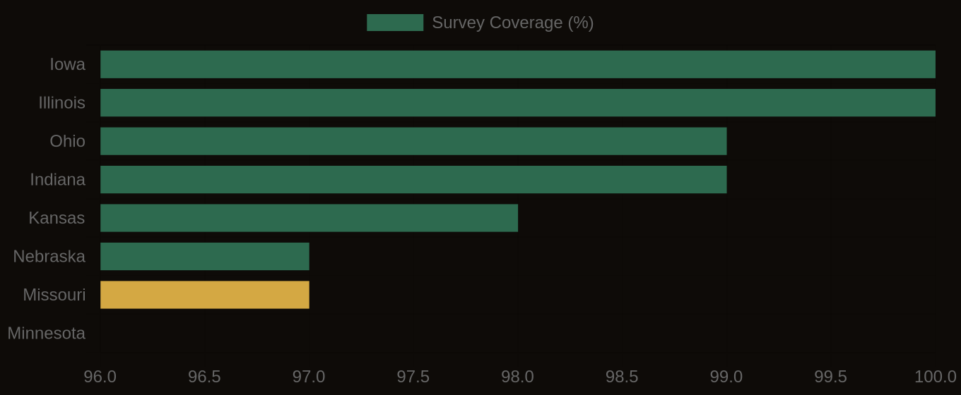
SSURGO Data Coverage — National Survey Completeness