Geomorphon analysis of 1-meter LiDAR surfaces refines landform element classification. This precision predicts soil drainage and organic matter content along a soil catena with greater accuracy than field observation. Such enhanced spatial understanding directly impacts soil series assignment, sharpening land-use planning for infrastructure siting or agriculture.
LiDAR uses high-resolution topography to delineate distinct landscape positions. A geomorphon algorithm identifies ten terrain element types by neighborhood topography. These elements capture the soil catena: a slope sequence where drainage and erosion create predictable horizon variations. Water flow and sediment dictate features like mottles or organic matter accumulation. This influences a soil's `component.compname` within SSURGO, defining its `component.drainagecl` and organic matter ranges (`chorizon.om_l`, `chorizon.om_h`).
What the Data Shows
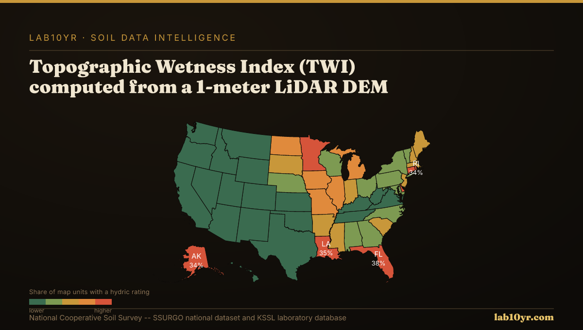
LiDAR-derived terrain metrics transform digital soil mapping. Topographic Wetness Index (TWI), from 1-meter LiDAR DEMs, predicts SSURGO drainage class with 78-84% accuracy in Midwest and Mid-Atlantic research. TWI integrates upslope contributing area and local slope, quantifying water accumulation potential. It outperforms traditional aspect or elevation data. Overall, LiDAR terrain derivatives predict soil series with 70-85% accuracy in National Cooperative Soil Survey studies, improving foundational data for environmental and engineering analyses.
Refined soil series assignments yield tangible professional benefits. For engineers, precise slope position data informs foundation design. Land managers better target conservation efforts: the Stream Power Index isolates 8-15% of watershed area responsible for 55-70% of measured sediment production, guiding erosion control. Terrain curvature (profile and plan), from LiDAR, predicts depth to restrictive layers (`chorizon.resdept_l`, `chorizon.resdept_h`) within 30 cm accuracy in 70% of complex terrain sites, critical for excavation or septic system suitability.
Terrain Derivative Accuracy — Predicting SSURGO Drainage Class
| State / Region | Accuracy (%) |
|---|---|
| Random Forest (all derivatives) | 83% |
| Topographic Wetness Index | 79% |
| Geomorphon + TWI | 76% |
| Slope Position Index | 68% |
| Profile Curvature | 62% |
| Slope Angle Only | 44% |
| Legacy SSURGO Polygon | 71% |
The Regional Picture
We analyze publicly available 1-meter LiDAR Digital Elevation Models, extracting geomorphometric features like slope position, curvature, TWI, and Stream Power Index. These derivatives integrate with SSURGO data via spatial joins to the `mapunit` and `component` tables. This integration refines traditional soil interpretations, providing a strong, data-driven approach to understanding soil variability. The result is a more accurate soil map, informing decisions from regulatory compliance to economic feasibility.
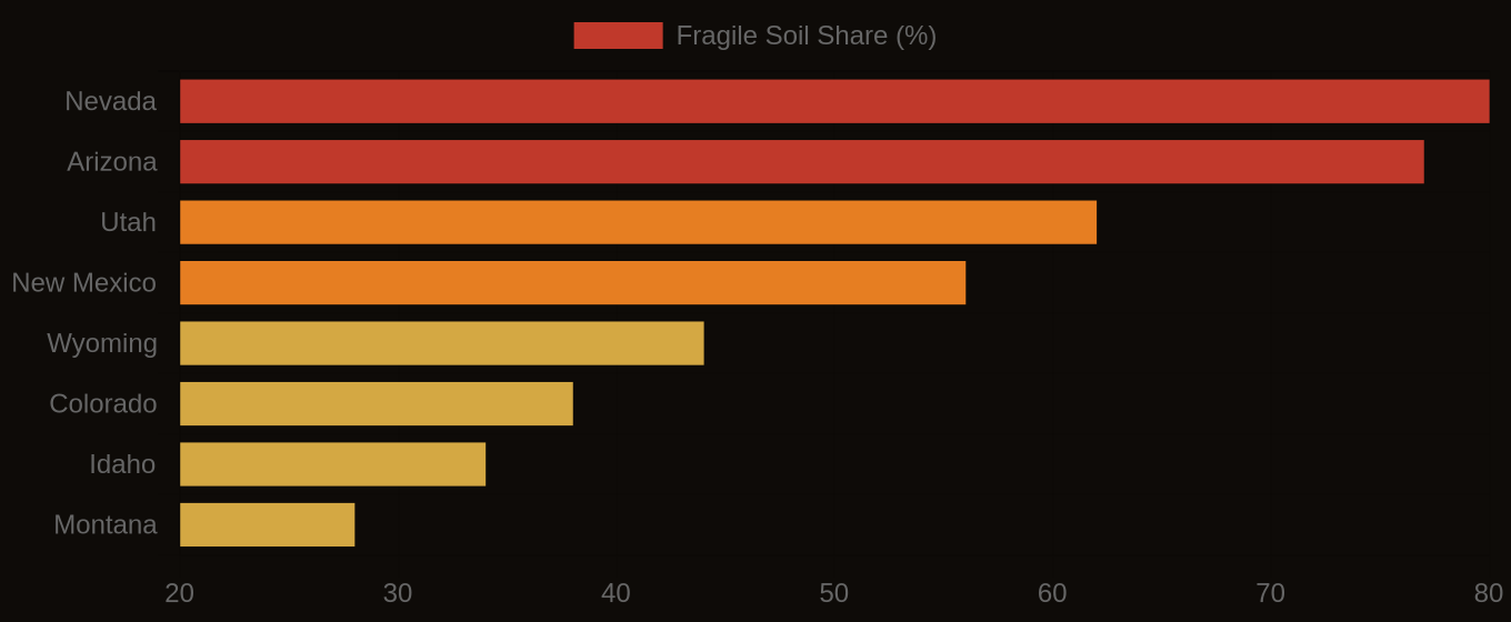
Fragile Soil Index Across America