Geomorphon analysis, when applied to a 1-meter LiDAR digital elevation model, classifies distinct landform elements -- summits, shoulders, backslopes, footslopes, and toeslopes -- with a predictive power for soil drainage and organic matter content along a catena that often exceeds traditional field observation. This precision fundamentally refines how soil scientists assign and delineate soil series. A soil catena describes a sequence of soils that recur on a uniform parent material and under similar climatic conditions, but differ due to variations in relief and drainage. The subtle changes in slope position, precisely captured by high-resolution LiDAR, directly influence water movement and accumulation, driving the differentiation of soils within these catenas. Understanding these relationships is critical for accurate soil mapping and land management.
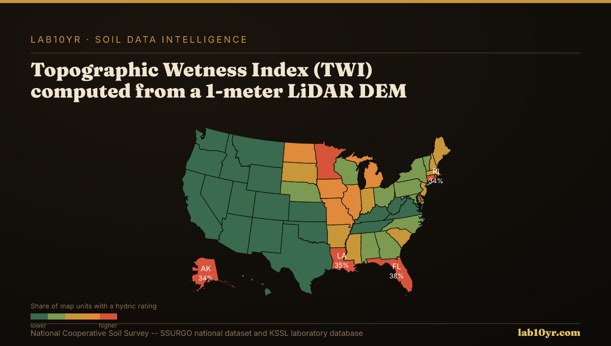
The geomorphon algorithm identifies ten fundamental terrain element types, including ridges, spurs, hollows, and valleys. Each type corresponds to predictable ranges of soil drainage and organic matter content. For instance, convex elements like summits and shoulders typically host well-drained soils with lower organic matter, while concave elements such as footslopes and toeslopes accumulate water and often exhibit higher organic matter and hydric conditions. Research across the Midwest and Mid-Atlantic shows that the Topographic Wetness Index (TWI), calculated from 1-meter LiDAR DEMs, predicts SSURGO drainage class with 78-84% accuracy. TWI integrates upslope contributing area and local slope, quantifying water accumulation potential more effectively than elevation or aspect alone.
What the Data Shows
This digital approach extends beyond drainage. Cross-validation studies by National Cooperative Soil Survey researchers demonstrate that LiDAR terrain derivatives, including curvature, slope position, TWI, and multi-scale relief, can predict soil series with 70-85% accuracy. Individually, these derivatives explain 45-65% of soil series variance, with their combined power in a random forest model reaching significantly higher predictive levels. Furthermore, terrain curvature, both profile and plan, predicts depth to restrictive layers within 30 cm accuracy in 70% of complex terrain sites, particularly in areas like the Appalachians where lithology is uniform. Concave plan curvature, for example, often correlates with colluvial accumulation and deeper soils, while convex profiles can indicate shallower bedrock.
Such detailed terrain analysis is critical for land-use planning and infrastructure development. The Stream Power Index (SPI), derived from LiDAR, identifies concentrated flow paths where the interaction of SSURGO Kf factor -- a measure of soil erodibility -- and slope maximizes erosion. In regions like the Iowa Loess Hills and the Palouse, SPI isolates 8-15% of watershed area responsible for 55-70% of measured sediment production. By integrating these high-resolution geospatial analyses with SSURGO and KSSL laboratory data, professionals can refine interpretations of soil properties, leading to more accurate wetland delineations, better-sited infrastructure, and more precise erosion control strategies. This enhanced understanding of terrain-soil relationships provides a sharper lens for managing land resources effectively.
Terrain Derivative Accuracy — Predicting SSURGO Drainage Class
| State / Region | Accuracy (%) |
|---|---|
| Random Forest (all derivatives) | 83% |
| Topographic Wetness Index | 79% |
| Geomorphon + TWI | 76% |
| Slope Position Index | 68% |
| Profile Curvature | 62% |
| Slope Angle Only | 44% |
| Legacy SSURGO Polygon | 71% |
The Regional Picture
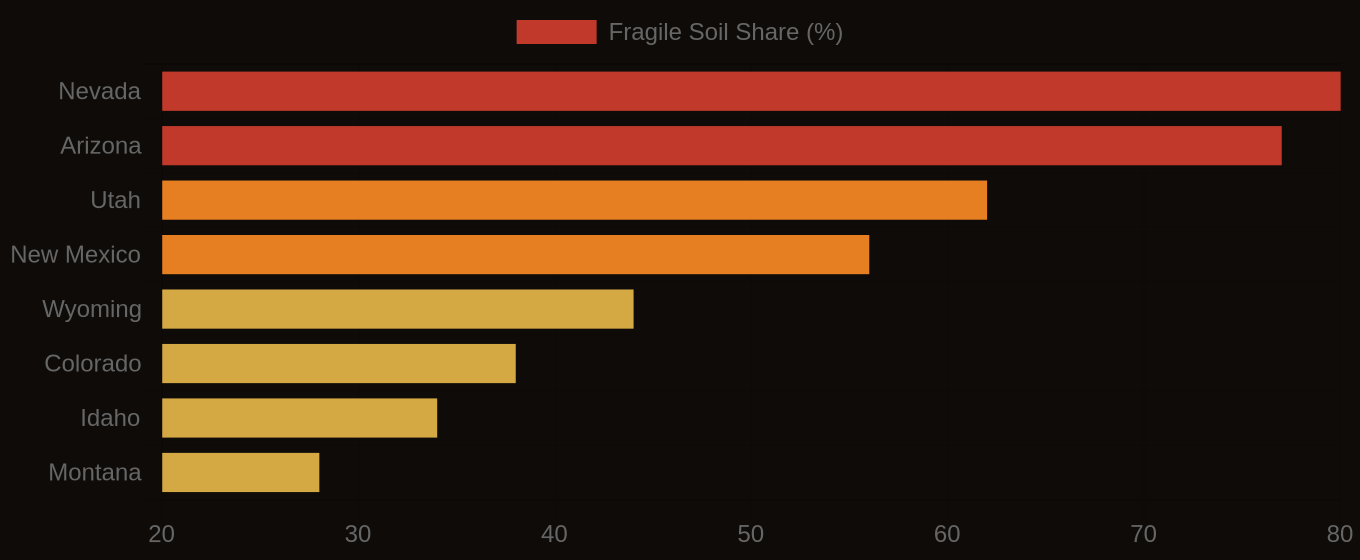
Fragile Soil Index Across America