Combining Sentinel-1 SAR surface moisture observations with SSURGO's detailed root-zone available water capacity produces field-scale soil water deficit estimates that outperform either dataset alone. These critical inputs are freely available, yet their integration remains largely unaddressed by most precision agriculture platforms. Quantifying moisture across the entire crop root zone provides a distinct advantage for real-time irrigation management, drought resilience planning, and crop insurance underwriting.
Synthetic Aperture Radar (SAR) systems, such as those aboard the European Space Agency's Sentinel-1 satellites, measure the dielectric constant of the top 2 to 5 centimeters of soil. This constant, indicating how well a material stores electrical energy, is highly sensitive to water, making it an excellent proxy for surface soil moisture. Unlike optical sensors, C-band SAR penetrates clouds and operates day or night, offering reliable, all-weather data at resolutions down to 10 meters. This persistent, high-resolution view reveals the immediate moisture status of the soil surface.
What the Data Shows
Below the surface, the soil's inherent capacity to hold water for plant uptake is described by its Available Water Capacity (AWC). AWC represents the volume of water held between field capacity (the maximum water a soil can hold against gravity) and the permanent wilting point (the moisture level at which plants can no longer extract water). This critical property, derived from soil texture, structure, and organic matter content, is recorded in the National Cooperative Soil Survey's SSURGO database within the `coecopg` table, specifically the `awc_r` field for the representative value. KSSL laboratory measurements, accessible via the `l_awc` field in the `lab_results_soil` table, provide direct empirical validation of these water retention characteristics.
Integrating SAR's surface observations with SSURGO's profile-deep AWC creates a dynamic, three-dimensional picture of soil water status, modeling the actual water available to crop roots. This combined intelligence allows agricultural managers to optimize irrigation schedules, preventing both water waste and crop stress. For crop insurers, it provides a data-driven basis for assessing drought impact and validating claims. Agritech developers gain a foundational layer for predictive analytics.
Soil Carbon Prediction Accuracy — Spectral vs. Traditional Methods
| State / Region | R² — SOC Prediction |
|---|---|
| UAV Multispectral (5cm) | 0.87% |
| Vis-NIR-SWIR Lab Scan | 0.84% |
| Sentinel-2 Bare Soil | 0.71% |
| Landsat Composite | 0.63% |
| Field Morphology | 0.55% |
| Grid Sampling | 0.48% |
The Regional Picture
Accessing this field-scale intelligence involves querying SSURGO data through Soil Data Access, joining `mapunit` to `component` and then to `coecopg` to retrieve AWC values. Sentinel-1 SAR imagery is publicly available from ESA. We integrate these distinct datasets into unified interpretations. Interactive map: Visualize dynamic soil moisture deficits and AWC at lab10yr.com/Regenerative-Agriculture-Risk-Map This unique combination offers a powerful, cost-effective tool for managing water resources in an era of increasing climatic variability, transforming raw data into strategic intelligence for resilient agricultural systems.
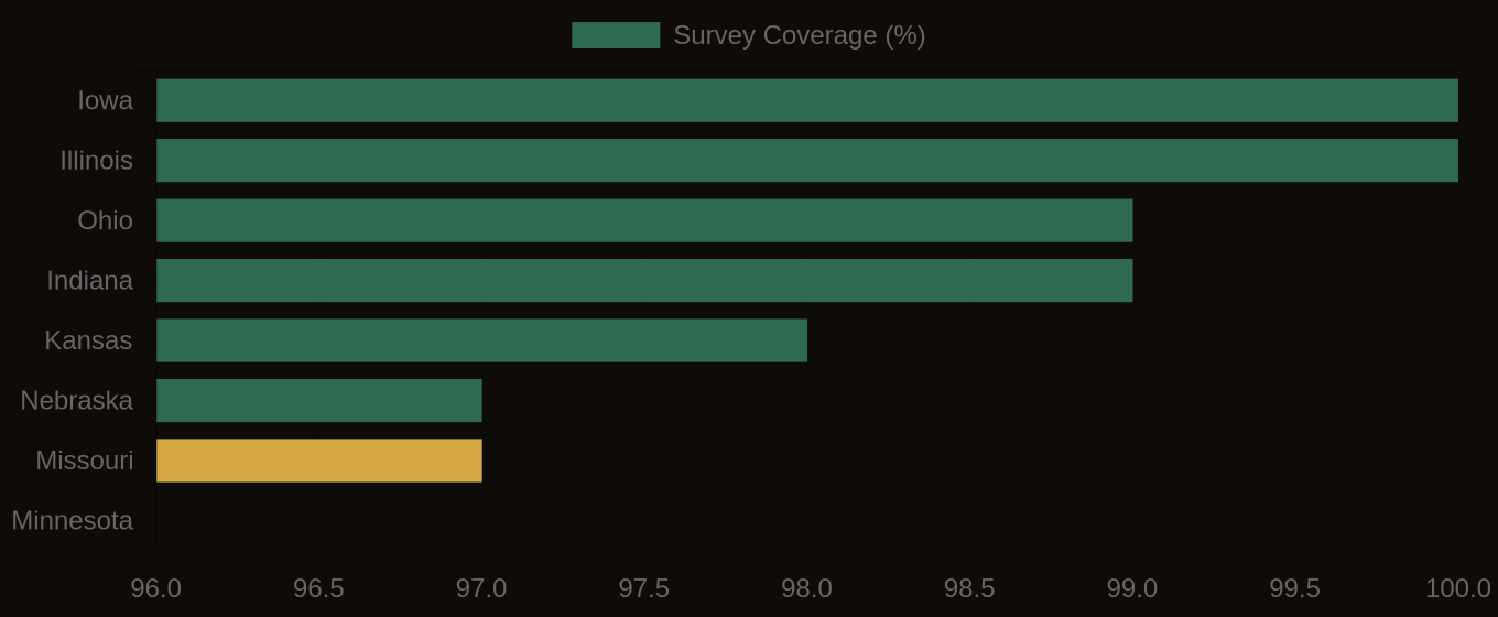
SSURGO Data Coverage — National Survey Completeness