The Kellogg Soil Survey Laboratory (KSSL) spectral library holds over 50,000 soil samples with matched Vis-NIR-SWIR reflectance measurements and detailed laboratory chemistry. This makes it the largest publicly available soil spectral dataset globally, yet most remote sensing projects outside federal programs remain unaware of its profound utility. This untapped resource represents a critical foundation for accurately modeling soil properties from airborne and orbital sensors, an essential step for scaling carbon verification and precision agriculture.
Vis-NIR-SWIR reflectance spectroscopy measures the unique spectral fingerprint of a soil sample across the visible (Vis), near-infrared (NIR), and shortwave infrared (SWIR) regions of the electromagnetic spectrum. Different soil constituents, such as organic matter, clay minerals, and iron oxides, absorb and reflect light at specific wavelengths, creating a characteristic signature. The KSSL meticulously measures this reflectance on dried, ground soil samples, correlating these spectral patterns with a full suite of laboratory chemical analyses. These precise, ground-truth measurements are indispensable for training and validating predictive models.
What the Data Shows
This strong library directly enables the development of high-accuracy models for predicting key soil properties from remote sensing platforms. For instance, bare soil Vis-NIR-SWIR reflectance can predict soil organic carbon with R-squared values ranging from 0.75 to 0.88 in the Corn Belt, demonstrating strong correlation across diverse soil texture classes when models are locally calibrated. Similarly, multispectral drone imagery at 5-cm resolution, using these spectral principles, predicts soil organic matter with R-squared values of 0.82-0.87 from bare soil composites, significantly outperforming broader satellite imagery for intra-field mapping.
For carbon project developers, integrating the KSSL spectral library into their model development means moving beyond sparse, expensive wet chemistry analyses. Instead of relying solely on field sampling that costs hundreds per sample, they can develop scalable, spectrally-driven quantification methods, reducing verification costs for projects spanning thousands of acres. Precision agriculture technology firms can likewise refine variable-rate applications for fertilizers and amendments, optimizing inputs and improving yields by using KSSL-trained models to map soil organic matter and nutrient availability at sub-meter scales. Without this foundational spectral data, remote sensing applications would remain largely uncalibrated, limiting their accuracy and trustworthiness.
Soil Carbon Prediction Accuracy — Spectral vs. Traditional Methods
| State / Region | R² — SOC Prediction |
|---|---|
| UAV Multispectral (5cm) | 0.87% |
| Vis-NIR-SWIR Lab Scan | 0.84% |
| Sentinel-2 Bare Soil | 0.71% |
| Landsat Composite | 0.63% |
| Field Morphology | 0.55% |
| Grid Sampling | 0.48% |
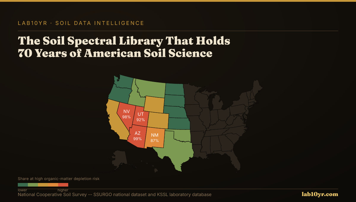
The Regional Picture
Access to the KSSL spectral library through the National Cooperative Soil Survey provides the critical ground-truth data needed to train and validate spectral prediction models. This public dataset, often overlooked, allows data scientists to establish the direct relationships between spectral signatures and laboratory-measured soil properties. Lab10YR integrates the KSSL data as a fundamental layer in our analyses, contextualizing how spectral responses translate into actionable soil interpretations for land managers and financial stakeholders.
The KSSL spectral library is more than a collection of numbers; it is a seventy-year repository of American soil science, offering an unparalleled resource for accelerating innovation in remote sensing. Its strategic utilization is essential for achieving the precision and reliability required to scale solutions in regenerative agriculture, environmental finance, and sustainable land management.
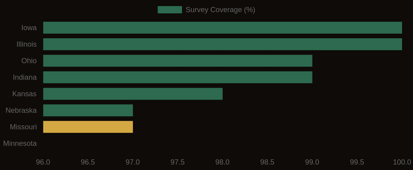
SSURGO Data Coverage — National Survey Completeness