Structure-from-Motion photogrammetry from a $1,500 drone detects sub-centimeter topographic change from one flight to the next. In mine reclamation and post-wildfire monitoring, this level of change detection replaces $50,000 ground-based survey campaigns, fundamentally altering the economics of environmental oversight and compliance. This shift allows engineers and planners to monitor vast areas with unprecedented detail and frequency, far beyond what traditional survey methods could achieve.
Structure-from-Motion (SfM) photogrammetry reconstructs detailed three-dimensional models of the earth's surface from overlapping two-dimensional images. Operators flying commercial drones, costing as little as $1,500, capture hundreds of images per flight path. Sophisticated software then processes these images, identifying common points across multiple views to generate dense point clouds, which are then used to create high-resolution Digital Elevation Models (DEMs). Repeat flights over the same area allow for precise differencing between DEMs, revealing erosion, deposition, and other subtle topographic shifts with sub-centimeter accuracy, a resolution that makes it indispensable for detecting early signs of land degradation.
What the Data Shows
These precise topographic maps are critical for understanding post-disturbance soil dynamics. In wildfire recovery areas, detecting even sub-centimeter rill and gully formation provides early warnings of significant sediment transport that could impact downstream water quality or infrastructure. The inherent erodibility of a soil, quantified by the K-factor in SSURGO's `coecpf` table under the `kffact` field, dictates its susceptibility to such erosion. Integrating these observed changes with SSURGO's authoritative soil property data enables a deeper understanding of actual versus predicted erosion risks, informing more effective mitigation strategies.
While SfM excels at topography, other drone-mounted sensors deliver insights into soil chemistry. Multispectral drone imagery at 5-cm resolution predicts soil organic matter with R-squared 0.82-0.87 from bare soil composites, a capability Lab10YR routinely integrates with SSURGO data. This allows for detailed mapping of soil organic matter, a key indicator of soil quality and stability, across disturbed sites. The Kellogg Soil Survey Laboratory (KSSL) spectral library, containing Vis-NIR-SWIR scans of 50,000+ soil samples with matched laboratory chemistry measurements, provides the foundational calibration for these remote sensing models, ensuring their accuracy and relevance to specific soil types.
Soil Carbon Prediction Accuracy — Spectral vs. Traditional Methods
| State / Region | R² — SOC Prediction |
|---|---|
| UAV Multispectral (5cm) | 0.87% |
| Vis-NIR-SWIR Lab Scan | 0.84% |
| Sentinel-2 Bare Soil | 0.71% |
| Landsat Composite | 0.63% |
| Field Morphology | 0.55% |
| Grid Sampling | 0.48% |
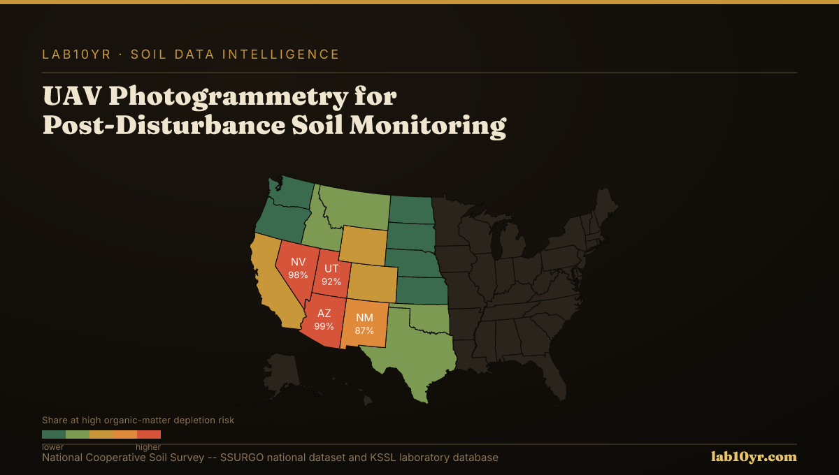
The Regional Picture
For mine reclamation engineers, this data translates into timely intervention decisions, reducing long-term environmental liability and ensuring compliance with regulatory mandates. For wildfire recovery planners, it guides critical decisions on erosion control placement, protecting downstream infrastructure from sediment loading. Lab10YR applies these data streams, using Soil Data Access queries against the `component` and `chorizon` tables, to contextualize observed changes against a site's specific soil characteristics, such as soil texture, organic matter content, and drainage class. This integration provides a complete risk assessment that goes beyond surface-level observations, revealing the underlying soil vulnerabilities.
Integrating high-resolution topographic change detection with SSURGO's detailed soil property data provides a complete, cost-effective approach to post-disturbance land management. This fusion of remote sensing data and authoritative soil intelligence enables proactive decision-making, transforming reactive responses into strategic interventions that protect both ecological value and financial assets. Environmental consultants, mine reclamation engineers, and wildfire recovery planners can now base their strategies on precise, measured data, ensuring more resilient outcomes for disturbed landscapes.
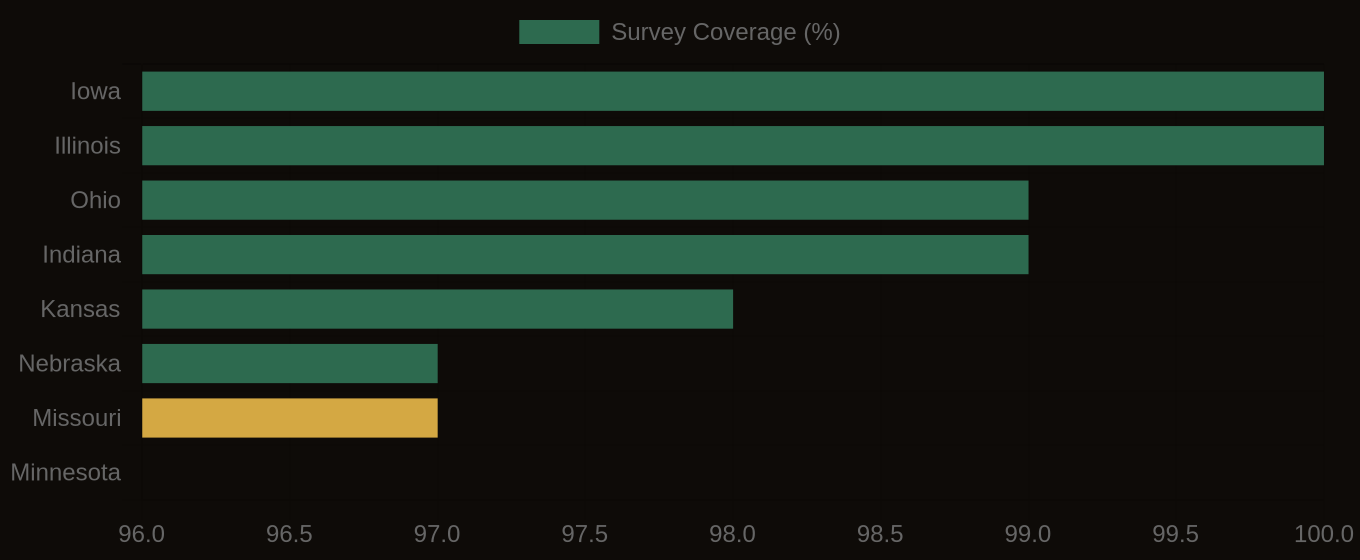
SSURGO Data Coverage — National Survey Completeness