UAV photogrammetry is transforming post-disturbance land management, allowing sub-centimeter topographic change detection from one flight to the next. In mine reclamation and post-wildfire monitoring, this capability replaces expensive $50,000 ground-based survey campaigns, offering unprecedented precision and cost savings. This technology provides critical insights into the dynamic processes of erosion and deposition, informing key environmental and engineering decisions.
The core of this capability is Structure-from-Motion (SfM) photogrammetry. Drones equipped with high-resolution cameras capture hundreds of overlapping images across a disturbed site. Specialized software then processes these images to reconstruct detailed three-dimensional models of the terrain, known as point clouds or Digital Elevation Models (DEMs). By comparing DEMs generated from sequential flights, environmental consultants and engineers can accurately quantify and map volumetric soil loss or accumulation, pinpointing areas of active erosion or sediment deposition with remarkable fidelity.
What the Data Shows
While drones measure what changes on the surface, understanding why those changes occur hinges on the underlying soil properties. Multispectral drone imagery at 5-cm resolution predicts soil organic matter with R-squared 0.82-0.87 from bare soil composites. This information is vital because soil organic matter significantly influences soil structure, aggregation, and ultimately, resistance to erosion. Integrating these spectral predictions with topographic change data allows for a more complete assessment of site stability and rehabilitation progress.
Connecting spectral observations to ground truth relies on strong datasets. The Kellogg Soil Survey Laboratory (KSSL) spectral library, for instance, contains Vis-NIR-SWIR scans of over 50,000 soil samples, each paired with complete laboratory chemistry measurements. This extensive library underpins the development of accurate predictive models; bare soil Vis-NIR-SWIR reflectance predicts soil organic carbon with R-squared 0.75-0.88 in the Corn Belt. We use these foundational datasets from the National Cooperative Soil Survey, including SSURGO and KSSL data, to provide the soil-specific context that explains observed surface changes, enabling more effective reclamation planning and risk assessment.
Soil Carbon Prediction Accuracy — Spectral vs. Traditional Methods
| State / Region | R² — SOC Prediction |
|---|---|
| UAV Multispectral (5cm) | 0.87% |
| Vis-NIR-SWIR Lab Scan | 0.84% |
| Sentinel-2 Bare Soil | 0.71% |
| Landsat Composite | 0.63% |
| Field Morphology | 0.55% |
| Grid Sampling | 0.48% |
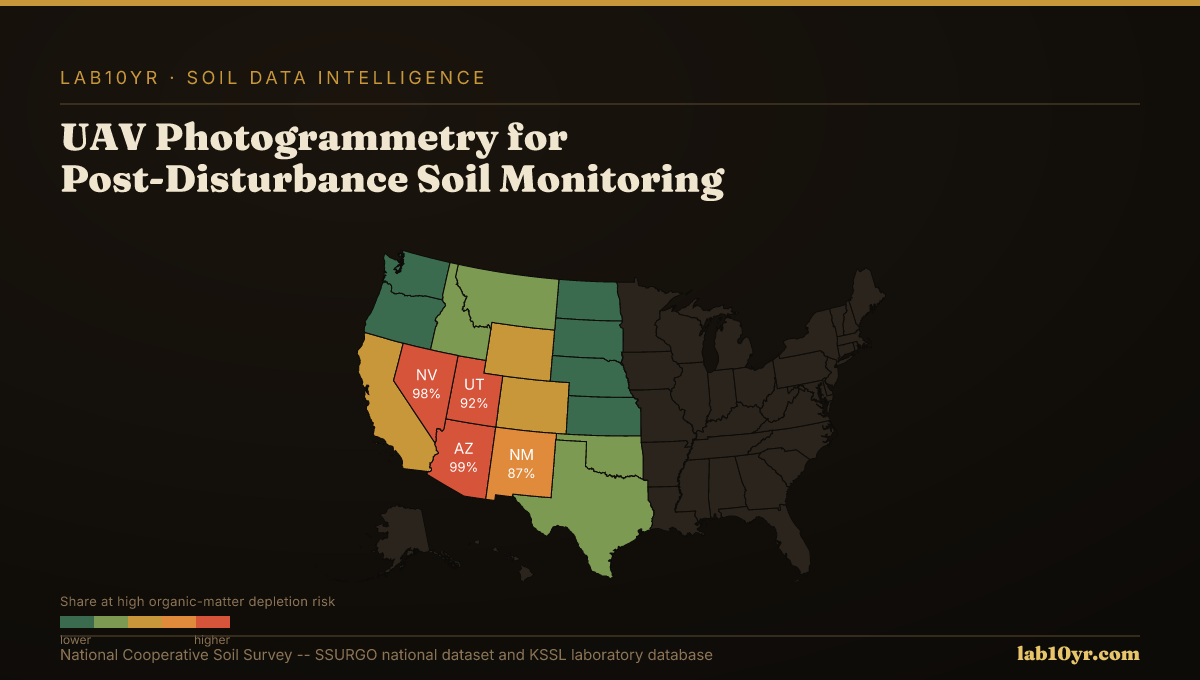
The Regional Picture
For environmental consultants, mine reclamation engineers, and wildfire recovery planners, this integrated approach transforms monitoring from reactive measurement to proactive management. It provides the data necessary to evaluate the efficacy of erosion control measures, ensure regulatory compliance, and optimize the allocation of resources for site stabilization. Understanding both the physical surface changes and the underlying soil characteristics enables professionals to make informed decisions that mitigate long-term environmental and financial liabilities.
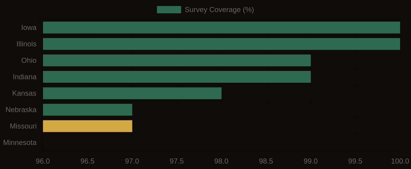
SSURGO Data Coverage — National Survey Completeness