Every application we run is open.
This is the proof layer under the paid work. Every map, score, and report engine below runs on the national soil survey and is open to anyone, right now.
Start with the four flagships.
The siting index, the national risk map, the ranked counties, and the query library. Each opens the live tool, no login.
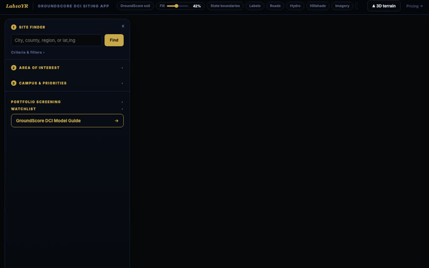
Data Center Siting · GroundScore DCI
Is this parcel a go, a caution, or a no-go for a data center?
Open app ↗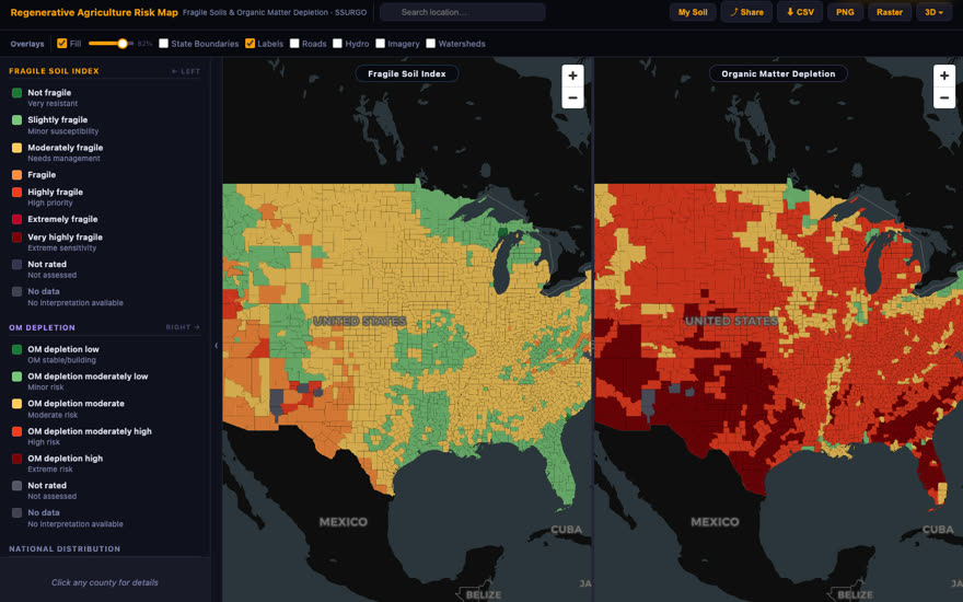
Regenerative agriculture risk map
Where does regenerative agriculture face the most soil risk?
Open app ↗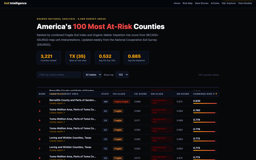
County risk leaderboard
Which counties carry the most soil risk, ranked?
Open app ↗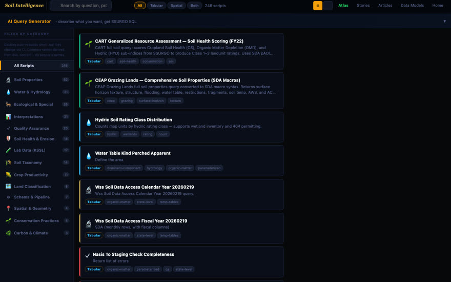
SQL explorer
How do I query SSURGO directly, with 258 ready-made scripts?
Open app ↗Then the full catalog.
Fifteen more live surfaces across four categories. If we run it, it is listed here and it opens.
Maps & scores
4 apps
Reports & data
6 apps
What does the national soil survey say about my county?
What soil is mapped at this exact point?
What does the survey say this ground can and cannot support?
What did the lab actually measure in soils like mine?
What does a full pedologist-written report look like?
Which soil metrics drive each real-world application?
Developer tools
2 apps
When you need it to hold up, we write it.
The open apps are free. The paid deliverable behind them is a pedologist-written report, defensible to a lender, a regulator, or a jury.
See pricing